Research & Publications
Research
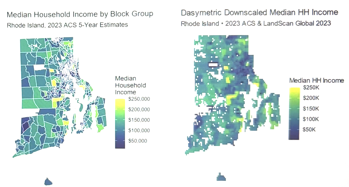
CRE for Redevelopment Risk: An Earth Observation Exposure Layer In progress
An Earth observation exposure layer for the Community Resilience Estimates
Next-phase design, building on the geo-temporal wealth estimation pipeline (Rhode Island proof of concept)
This project's central hypothesis is that housing displacement shows up in satellite imagery well before it shows up in survey data — by the time a five-year ACS estimate reflects a neighborhood's turnover, the building may have already sold, been redeveloped, and the households who lived there may have already moved. This project designs a redevelopment exposure layer for the Census Community Resilience Estimates: instead of inferring income from imagery, it detects construction, demolition, and land-use conversion directly from Landsat and Sentinel-2, trained on parcel-level permit and assessor records, and deliberately extends detection into jurisdictions with the weakest record-keeping. It builds directly on a completed geo-temporal wealth-estimation pipeline (Rhode Island...
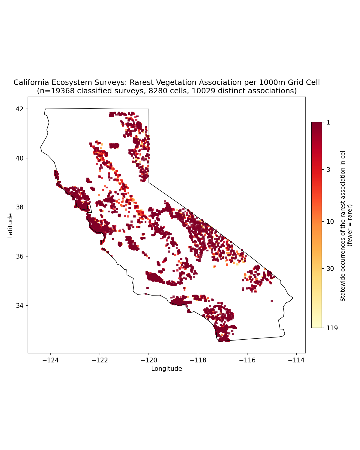
Ecosystem Mapping: Classifying Endangered Plant Communities to Quantify the Ecological Cost of Data Centers In progress
Independent Ecological Data Science Research
Ecosystem classification at the association level—the most precise and ecologically meaningful scale—is often costly, time-consuming, and incomplete, which means conservation resources may be misallocated and protective measures can lag behind ecological changes. This has become urgent as data center expansion creates substantial, localized demand for water and land, often diverted from ecosystems that depend on it. This project evaluates whether Earth Observation data, combined with California's vegetation datasets, can be used to train models that map ecosystems at the association level, producing a baseline for comparing infrastructure siting decisions against ecological risk.
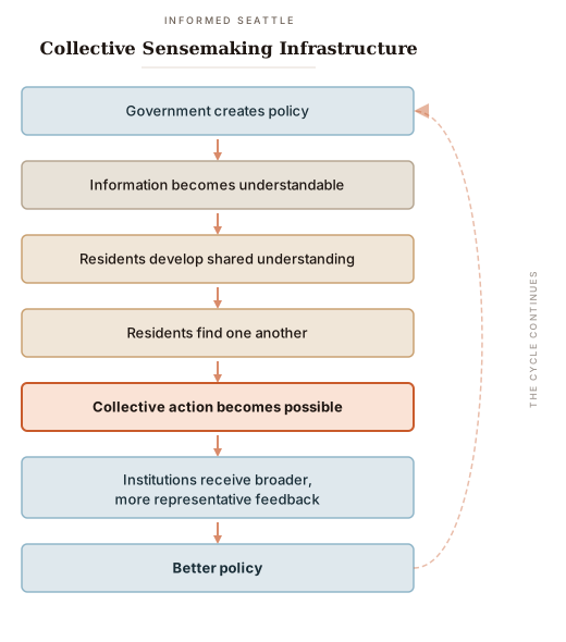
Informed Seattle: Collective Sensemaking Infrastructure with AI Supported Legislative Plain Text Summaries Proof of concept
Civic Information Infrastructure for Local Democracy
In collaboration with UW eSciences Institute
Democratic participation is unequally distributed because civic information is unequally accessible. Every week, local governments make decisions that shape housing affordability, transportation, public safety, climate resilience, disability services, childcare, and public health. While these decisions are technically public, they are rarely understandable to the people most affected by them. Residents with fewer resources—working parents, renters, immigrants, people with disabilities, young adults, and those unfamiliar with legal or bureaucratic language—often cannot afford the time or expertise required to interpret legislation before decisions are made. As a result, public participation disproportionately reflects organizations and individuals who already possess the time, knowledge, and relationships to navigate government. This creates a feedback loop where...
Publications
-
"Responsible Artificial Intelligence (RAI) in US Federal Government: Principles, Policies, and Practices."
Workshop on Regulatable ML: Towards Bridging the Gaps between Machine Learning Research and Regulations, NeurIPS 2024, Vancouver, Canada.
Type: Position paper (workshop)