Environmental Data Landscape Scan for Federal Climate Policy
U.S. Census Bureau Emerging Technology (xD) Fellowship / SEHSD
Problem
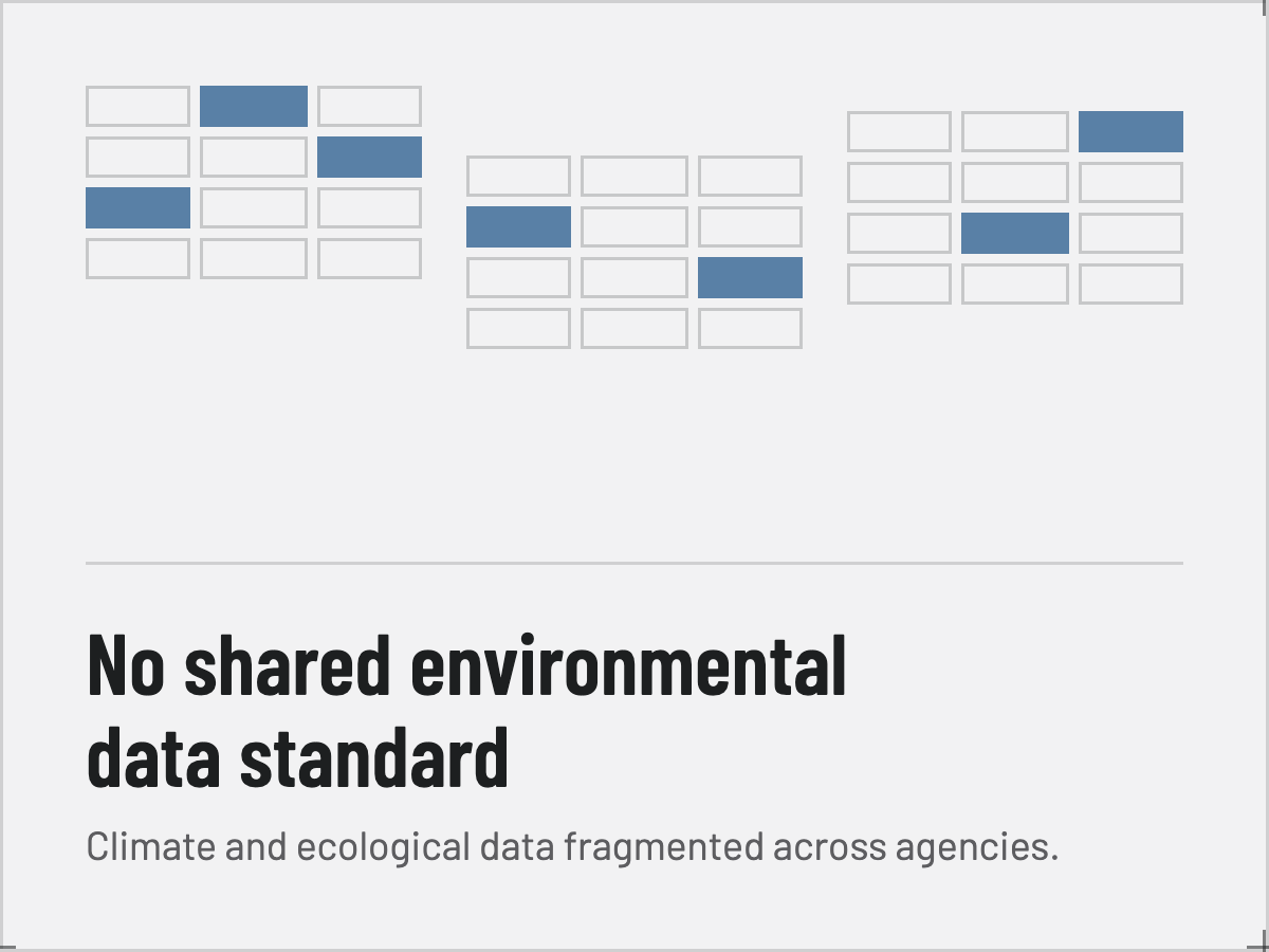
The federal government lacks a coherent environmental data framework—a shared understanding of what climate and ecological data exists, who needs it, and how it connects environmental conditions to the people and places affected.
This isn’t a lack of data. Climate and ecological data is fragmented across agencies with no shared standard, which means communities facing wildfire risk, flood exposure, and climate migration can’t be adequately supported. The infrastructure that would link environmental exposure to housing, income, and mobility doesn’t exist — and the populations most exposed are the ones least served by that fragmentation.
Identifying that this problem involves two kinds of systems — organizational systems (divisions, agencies, civic infrastructure) and cultural ones (who is exposed, whose resilience gets measured, whose voice shapes the standard) — helped frame how to approach a solution.
Solution
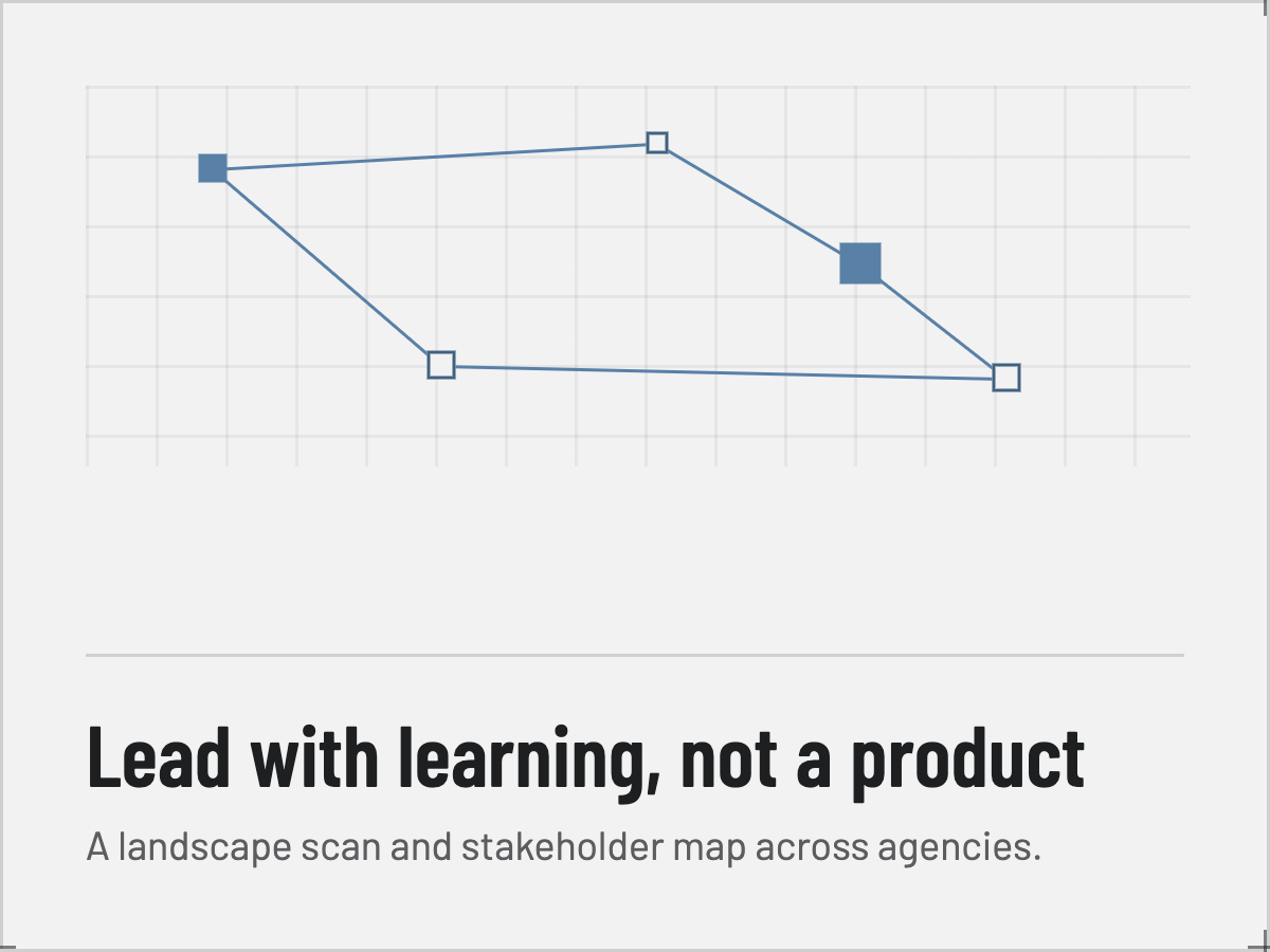
Rather than arriving with a product, I led with learning, designing the work to understand the system before designing for it.
I ran a structured landscape scan and stakeholder consultation, interviewing environmental economists, senior data scientists, and interagency leads across Census’s Economic and Housing Statistics Division, the Environmental Impacts Frame initiative, and the interagency natural capital accounting effort.
I wanted to learn what was already built to understand the problem: Is there a genuine need for a new environmental data product? Who would use it? What data already exists — Census microdata, NOAA, FEMA flood records, remote sensing, tree canopy, vegetation classification — and where are the important gaps, while mapping the policy systems already in motion (SEEA standards, natural capital satellite accounts, community resilience estimates).
The proof of concept for the project was not a pipeline; it was a stakeholder map and a set of flexible research questions built to facilitate the conversation across the divide.
Impact
This groundwork makes it possible for federal agencies to eventually understand environmental inequality across time and place — who is exposed to air pollution, flood risk, or wildfire, and how those exposures map onto where and how people live.
The deliverable was designed to be transferable: the stakeholder map and research questions can be picked up by whoever secures funding or an institutional home for the next phase, so that the value can outlive the duration of my fellowship.
The most important finding was institutional — the work that matters most, around the environment, population health, ecological accounting, and economic policy, sits at the intersection where organizational fragmentation makes it hardest to move. Naming this as a constraint frames future work: the next phase needs dedicated funding and an identified agency owner to facilitate collaboration between atmospheric scientists, demographers, and policy economists.
Stack & Methods
Stakeholder interviews · landscape scan methodology · policy analysis (SEEA standards, natural capital accounts, community resilience estimates) · Census microdata · NOAA, FEMA flood records, remote sensing, and vegetation classification data · U.S. Census Bureau Emerging Technology (xD) Fellowship.